
This archive contains answers to questions sent to Unidata support through mid-2025. Note that the archive is no longer being updated. We provide the archive for reference; many of the answers presented here remain technically correct, even if somewhat outdated. For the most up-to-date information on the use of NSF Unidata software and data services, please consult the Software Documentation first.
Hi Tyn,
I eventually did receive your email that contained a suggested MAP.CORE
entry for South Africa:
> SAFRICA OUTLINEFILE= OUTLHRES OUTLHPOL \
> MERCATOR= 'LAT=-37 -15 LON=-34 -15' \
> LAMB_CONF_SC= 'LAT=-25 LON=-22 SLAT=-20 SCALE=10.0'
This definition looks OK.
You might consider if you want to include other keywords in your definition.
For instance, try the following:
<as 'mcidas'>
-- create the file ~mcidas/workdata/MAP.USER with the contents:
SAFRICA OUTLINEFILE= OUTLHRES OUTLHPOL \
PROJECTION= CONF \
MCOLOR = 1 5 \
MERCATOR= 'LAT=-37 -15 LON=-34 -15' \
LAMB_CONF_SC= 'LAT=-25 LON=-22 SLAT=-20 SCALE=10.0'
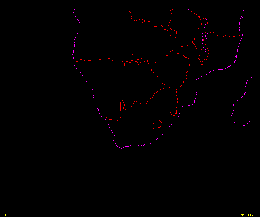
With this definition in place, the map produced when you run:
MAP SAFRICA
will look like the the attached image.
Cheers,
Tom
****************************************************************************
Unidata User Support UCAR Unidata Program
(303) 497-8642 P.O. Box 3000
address@hidden Boulder, CO 80307
----------------------------------------------------------------------------
Unidata HomePage http://www.unidata.ucar.edu
****************************************************************************
Ticket Details
===================
Ticket ID: ZKI-320426
Department: Support McIDAS
Priority: Normal
Status: ClosedAttachment:
safrica.gif
Description: GIF image