
This archive contains answers to questions sent to Unidata support through mid-2025. Note that the archive is no longer being updated. We provide the archive for reference; many of the answers presented here remain technically correct, even if somewhat outdated. For the most up-to-date information on the use of NSF Unidata software and data services, please consult the Software Documentation first.
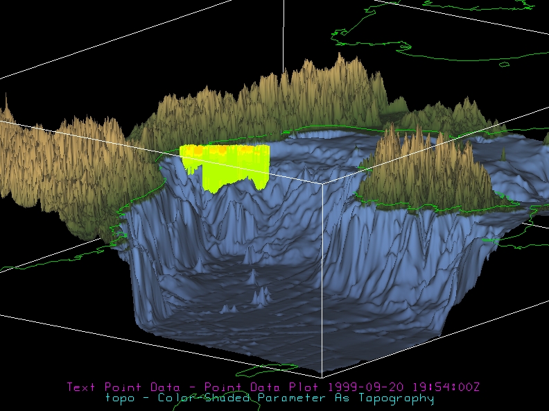
> To be clearer I would like to do something similar to what is visualized by
> opening the El Nino/La Nina Comparison example in the Quicklinks tab. Is it
> possible to do so with point data? At the moment it does not let me create an
> isosurface of any type neither display vertical profiles.
>
> Thanks,
> Simone
>
> Da: Simone Di Bari <address@hidden>

we don't have too many options for the point-type data display. You can try the
attached bundle. When you open the bundle you need to change the point
data file to point to your local file (the same one you sent me in the last
email). I set the bin size to be one year.

Yuan

Ticket Details
===================
Ticket ID: AAE-286377
Department: Support IDV
Priority: Normal
Status: Open
===================
NOTE: All email exchanges with Unidata User Support are recorded in the Unidata
inquiry tracking system and then made publicly available through the web.  If
you do not want to have your interactions made available in this way, you must
let us know in each email you send to us.
Attachment:
testPoint.xidv
Description: Binary data
Attachment:
testPoint.jpg
Description: JPEG image