
This archive contains answers to questions sent to Unidata support through mid-2025. Note that the archive is no longer being updated. We provide the archive for reference; many of the answers presented here remain technically correct, even if somewhat outdated. For the most up-to-date information on the use of NSF Unidata software and data services, please consult the Software Documentation first.
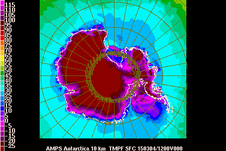
> How can you set up the gempak lat-lon or map parameters so that the
> latitude and longitude labels are transparent without a white background?
> Attached is the image.  As you see there is a white background for the
> latitude and longitude labels and I am not sure how to make that white
> background transparent.  Let me know if you have any suggestions on what to
> do.


Hi Jason,

This is an interesting issue and my first thoughts is that it is related to the
selected device driver.  I am able to produce PS and GIF graphics with
"transparent" background for the lat-lon labels.  If you could tell me in as
much detail as possible what device driver and GEMPAK program parameters you
are using, I can try to isolate the reason you're seeing these artifacts.

For reference, the gif images:
http://www.unidata.ucar.edu/software/gempak/grids/dset_gd_10km.gif and PDF
converted from PS:
http://www.unidata.ucar.edu/software/gempak/grids/dset_gd_ross-beardmore.gif.pdf


Ticket Details
===================
Ticket ID: FVT-855718
Department: Support GEMPAK
Priority: High
Status: Open