
This archive contains answers to questions sent to Unidata support through mid-2025. Note that the archive is no longer being updated. We provide the archive for reference; many of the answers presented here remain technically correct, even if somewhat outdated. For the most up-to-date information on the use of NSF Unidata software and data services, please consult the Software Documentation first.
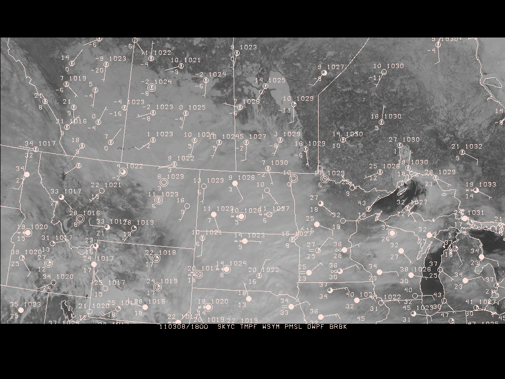
Zhuo,

I would suggest using EAST-CONUS 1KM VIS.

An example for SFMAP (image attached):

GEMPAK-SFMAP>
 AREA     = 40;-117;55;-80
 GAREA    = 40;-117;55;-80
 SATFIL   = /data/ldm/gempak/images/sat/EAST-CONUS/1km/VIS/VIS_20110308_1815
 RADFIL   =
 IMCBAR   =
 SFPARM   = SKYC;TMPF;WSYM;PMSL;;DWPF;BRBK
 DATTIM   = 1800
 SFFILE   = metar
 COLORS   = 1
 MAP      = 1
 MSCALE   = 0
 LATLON   =
 TITLE    = 1
 CLEAR    = YES
 PANEL    = 0
 DEVICE   = XW
 PROJ     = sat
 FILTER   = YES
 TEXT     = 1
 LUTFIL   =
 STNPLT   =
 CLRBAR   =
 LSTPRM   =
GEMPAK-SFMAP>


> Full Name: ZHUO LIU
> Email Address: address@hidden
> Organization: University of Manitoba
> Package Version:
> Operating System:
> Hardware:
> Description of problem:
>
> Dear Sir/Madam,
>
> I'm a new user of GEMPAK, I can use sfmap to do the surface station plot,
> now I want overlay satellite images(visible), but I'm not sure which
> image I should use.
>
> My Garea is: GAREA    = 40;-117;55;-80, and can be adjusted little bit.
> There are some satellite images in the directory ~ldm/data/gempak/images/sat:
>
> AK-NATIONAL/  GOES-11/      MDR/             PR-NATIONAL/     WEST-CONUS/
> AK-REGIONAL/  GOES-13/      MOLLWEIDE/       PR-REGIONAL/
> ANTARCTIC/    HI-NATIONAL/  NHEM-COMP/       SOUNDER/
> EAST-CONUS/   HI-REGIONAL/  NHEM-MULTICOMP/  SUPER-NATIONAL/
>
> I tested all the visible images that I can use, either the satellite
> image does not cover our region, or the resolution looks very low. or
> there is a "slant angle" of the satellite to the surface. Attached are
> some of the plots.
>
> So what should I do?
>
> Your help is highly appreciated.
>
> Best regards,
> Zhuo(George) Liu
>
>


Ticket Details
===================
Ticket ID: HOR-561708
Department: Support GEMPAK
Priority: Normal
Status: Open
Attachment:
sfmap_sat.gif
Description: GIF image